 X-Dreamers
Where Did the Israelites Cross the Red Sea?
Exodus calls it Yam Suph, the ‘sea of reeds’. The main theories for the crossing and for Mount Sinai, the two dates, and how sure we can be of each.
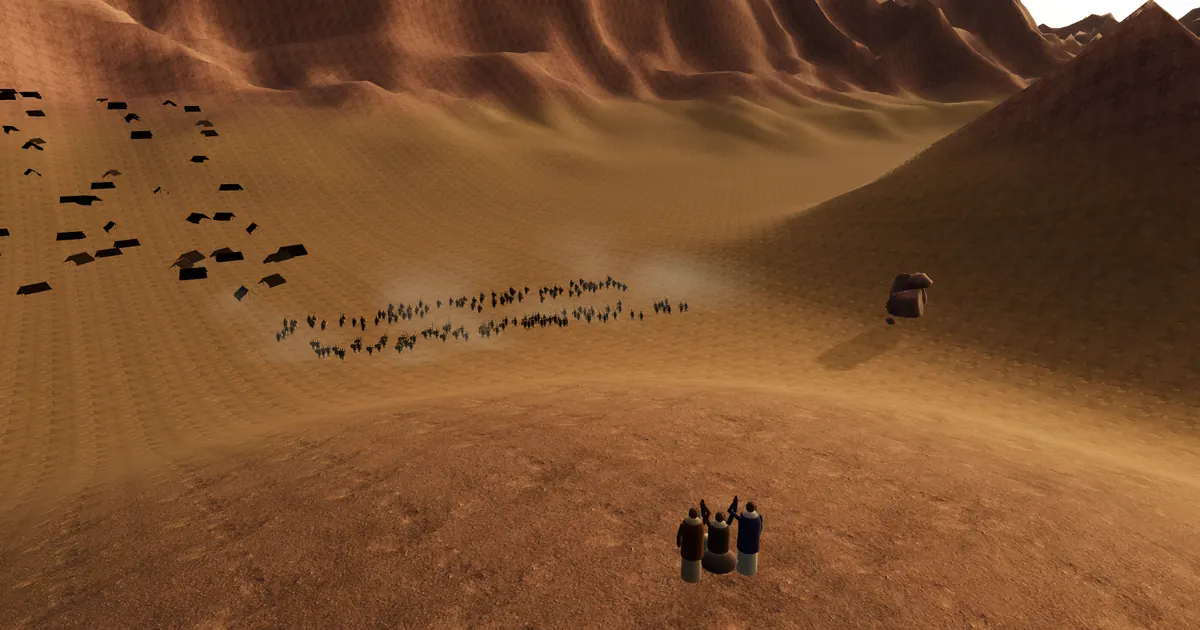
No one knows exactly where Israel crossed the sea. Exodus gives a sequence, not a map, and the sea’s Hebrew name, Yam Suph, “sea of reeds”, is also used for the Gulf of Aqaba and, it seems, the Gulf of Suez. Three main theories remain: a reedy lake in the north-east of the Nile delta, or the Bitter Lakes and the head of the Gulf of Suez (both Plausible in the lab), or the Gulf of Aqaba at Nuweiba (Speculative). For Mount Sinai, Jebel Musa in southern Sinai, honoured since the 4th century, is Plausible; Jebel Serbal, Jebel al-Lawz in Saudi Arabia and Har Karkom in the Negev are Speculative. The two dates are about 1446 BC and about 1260 BC, and the 600,000 men of Exodus 12:37 are read in more than one way.
Or start from the verse itself: Exodus 14:21.
Walk between the walls of water in 3D →
What we know and what is guessed
| Question | What the text says | What has been proposed | Evidence level |
|---|---|---|---|
| The sea | Yam Suph; Israel walked on “the dry ground” (Exodus 14:22) | A northern lake; the Bitter Lakes or Gulf of Suez; the Gulf of Aqaba | Plausible; Plausible; Speculative |
| How | “a strong east wind all night” (Exodus 14:21) | Wind pushing back shallow water | Plausible, as a possible means |
| The camps | Twelve from Rameses to Sinai (Numbers 33:3–15) | Rameses at Qantir; the rest placed by each theory | Rameses Strongly supported; most others Speculative |
| Mount Sinai | Reached in the third month (Exodus 19:1) | Jebel Musa; Jebel Serbal; Jebel al-Lawz; Har Karkom | Plausible; the other three Speculative |
| When | 480 years before Solomon’s Temple (1 Kings 6:1) | About 1446 BC, or about 1260 BC under Ramesses II | Both Plausible |
| How many | About 600,000 men on foot, besides children (Exodus 12:37) | Two million or more; or tens of thousands | Plausible; Speculative |
What Exodus actually says
Israel set out from Rameses “on the next day after the Passover” (Numbers 33:3). God did not lead them “by the way of the land of the Philistines, although that was near” (Exodus 13:17), but “around by the way of the wilderness by the Red Sea” (Exodus 13:18). Then they were told to “turn back and encamp before Pihahiroth, between Migdol and the sea, before Baal Zephon” (Exodus 14:2). None of the three names has been located. Then the crossing:
Moses stretched out his hand over the sea, and the LORD caused the sea to go back by a strong east wind all night, and made the sea dry land, and the waters were divided. The children of Israel went into the middle of the sea on the dry ground; and the waters were a wall to them on their right hand and on their left. (Exodus 14:21–22)
It took the night, and “the sea returned to its strength when the morning appeared” (Exodus 14:27). The lab’s crossing stop follows it in five moments, from Camped by the sea and The east wind to The morning watch. The 3D shore is no particular place; the map does the locating.
Yam Suph: the “sea of reeds”
Suph is the word used when Moses’ mother set his basket “in the reeds by the river’s bank” (Exodus 2:3). The Greek Septuagint translated Yam Suph as “the Red Sea”, and most English and Chinese Bibles follow it (Strongly supported).
But the name covers more than one lake. Solomon built ships at Ezion Geber “on the shore of the Red Sea, in the land of Edom” (1 Kings 9:26), on the Gulf of Aqaba. And after Elim, heading south, Israel “encamped by the Red Sea” (Numbers 33:10), apparently the Gulf of Suez. So the name alone does not locate the crossing (Strongly supported).
Three theories for the crossing
Choose a Route theory on the lab’s map to redraw the camps, or press All routes.
A northern lake. The reedy Ballah Lakes on Egypt’s north-eastern border, where James Hoffmeier’s survey found old lake beds and forts: close to Rameses and a good fit for “sea of reeds” (Plausible). An older view puts the sea at Lake Sirbonis, but that lies on the coast road Exodus 13:17 says God avoided (Speculative).
The Bitter Lakes or the Gulf of Suez. The classic southern route: east from the delta, back to the lakes of the isthmus or the head of the gulf, then down the west of Sinai. It fits the order of Numbers 33 (Plausible). Ocean models (Nof and Paldor 1992; Drews and Han 2010) show that a night-long wind can bare shallow water for some hours: Plausible as a means, though the text presents it as the LORD’s act.
The Gulf of Aqaba at Nuweiba. Supporters cite 1 Kings 9:26, Moses’ years in Midian and Paul’s “Mount Sinai in Arabia” (Galatians 4:25). But Nuweiba is over 300 km from the delta, and Numbers 33 lists only three camps before the sea (Strongly supported); the gulf there is hundreds of metres deep. The chariot wheels come from amateur dives, and nothing has been recovered, dated or published. In Paul’s day “Arabia” reached into Sinai, so his phrase fits either side of the gulf.
Where is Mount Sinai?
The Bible gives clues, not coordinates (Strongly supported): the third month, Midian (Exodus 3), and eleven days from Horeb to Kadesh Barnea (Deuteronomy 1:2). The Sinai stop lets you pick each candidate on the map.
| Candidate | Where | For and against | Evidence level |
|---|---|---|---|
| Jebel Musa, 2,285 m | Southern Sinai | Honoured since at least the 4th century; fits the southern route, with the plain of er-Raha below. No finds tie it to Israel | Plausible |
| Jebel Serbal, 2,070 m | Above the Feiran oasis | A minority view; no plain at its foot | Speculative |
| Jebel al-Lawz, 2,580 m | North-west Saudi Arabia (Midian) | Popularised in the 1980s; the dark summit is naturally dark rock; needs the Aqaba crossing | Speculative |
| Har Karkom, 847 m | Negev, Israel | Shrines mostly from the 3rd millennium BC; too close to Kadesh Barnea | Speculative |
The Sinai scenes use Jebel Musa’s real terrain and say plainly that it may not be the place. At The third day, “All of Mount Sinai smoked, because the LORD descended on it in fire” (Exodus 19:18). Reading that as a volcano is Speculative; neither Jebel Musa nor Jebel al-Lawz is one.
When, and how many?
The early date, about 1446 BC, counts back 480 years from Solomon’s fourth year (1 Kings 6:1). The late date, about 1260 BC, puts the exodus under Ramesses II, who built Pi-Ramesse, the Rameses of Exodus 1:11. Both are Plausible. The Merneptah Stele names Israel as a people in Canaan by about 1208 BC (Strongly supported). No trace of the wilderness camps has been found (Strongly supported), though nomads’ tents rarely survive.
Exodus counts “about six hundred thousand on foot who were men, in addition to children” (Exodus 12:37); the census of Numbers 1:46 gives 603,550. As ordinary numbers, that means two million or more (Plausible); read eleph, “thousand”, as a clan, and it falls to 20,000–70,000 (Speculative). At the departure stop the crowd suggests a multitude without counting it.
Between the sea and the mountain
Marah and Elim bring bitter water made sweet, then twelve springs and seventy palms; the manna stop has dew at dawn and quail at evening; at Rephidim Aaron and Hur hold up Moses’ hands. The journey ends at the Ten Commandments, which begin with the exodus itself (Exodus 20:2).
Frequently asked questions
Red Sea or Reed Sea? The Hebrew means “sea of reeds”; “Red Sea” comes from the Greek Bible. Neither locates the crossing.
Have Pharaoh’s chariot wheels been found? No. The photographs come from amateur dives; nothing has been recovered.
Is Mount Sinai in Saudi Arabia? Jebel al-Lawz has been proposed, but the lab rates it Speculative; Jebel Musa remains likelier.
Follow the journey in 3D
Open The Exodus: through the Sea to Sinai →, or go straight to the pillar of fire or the sea returning at dawn.
Related
- The Tabernacle, built at Sinai, and the article Inside the Tabernacle.
- The Feast of Tabernacles: the booths recall that God “made the children of Israel to dwell in temporary shelters” (Leviticus 23:43). See the camp in the lab.
- The Exodus on the Bible Time Map, and The Bible on One Timeline for where both dates fall.
Found this helpful? Pass it on.