 X-Dreamers
Bible Maps
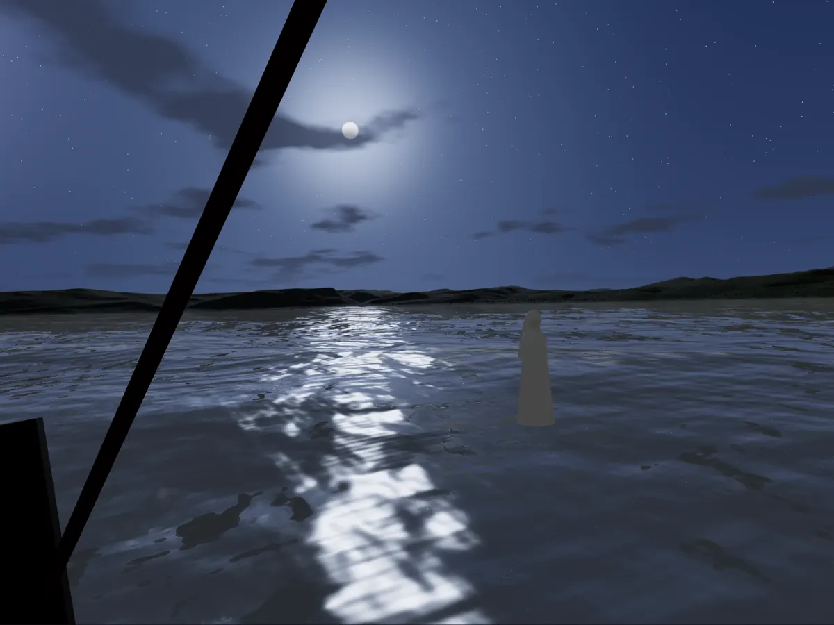
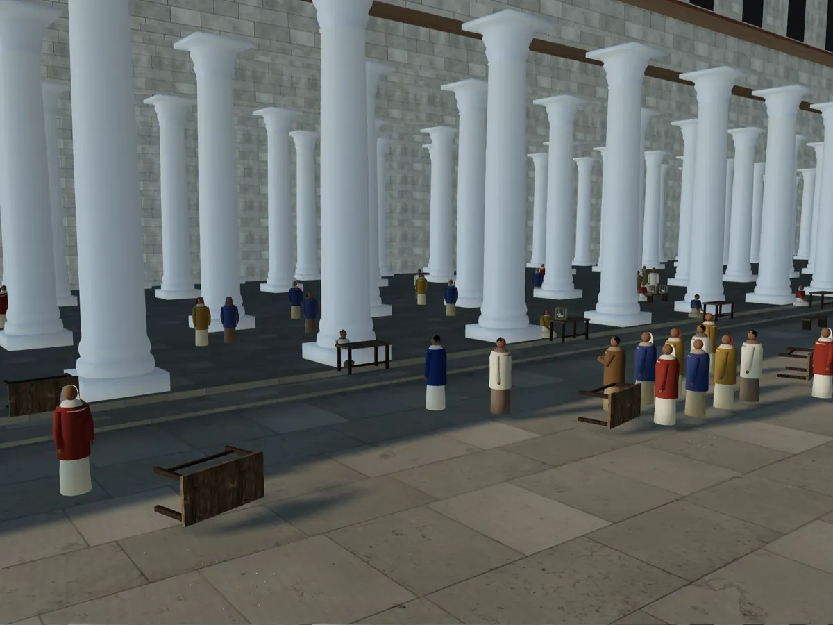
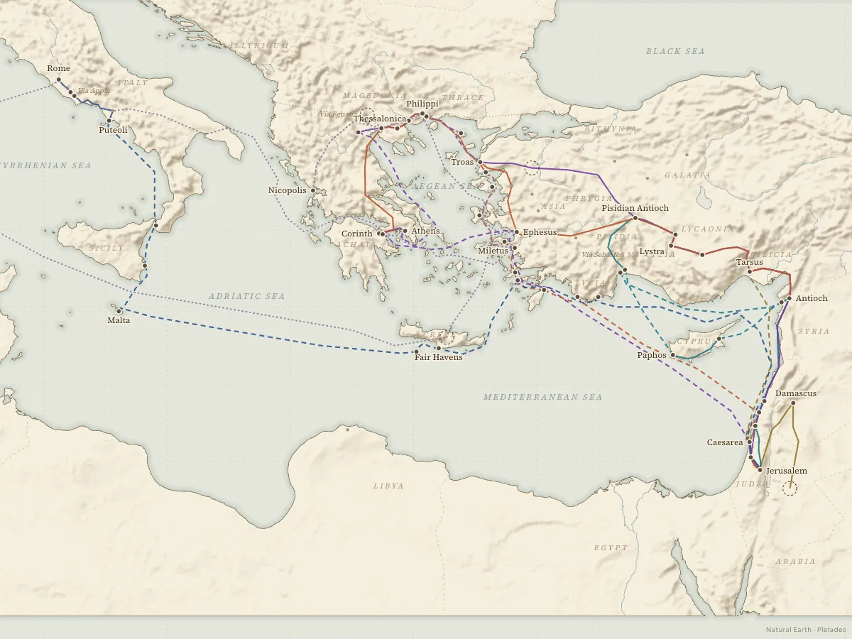
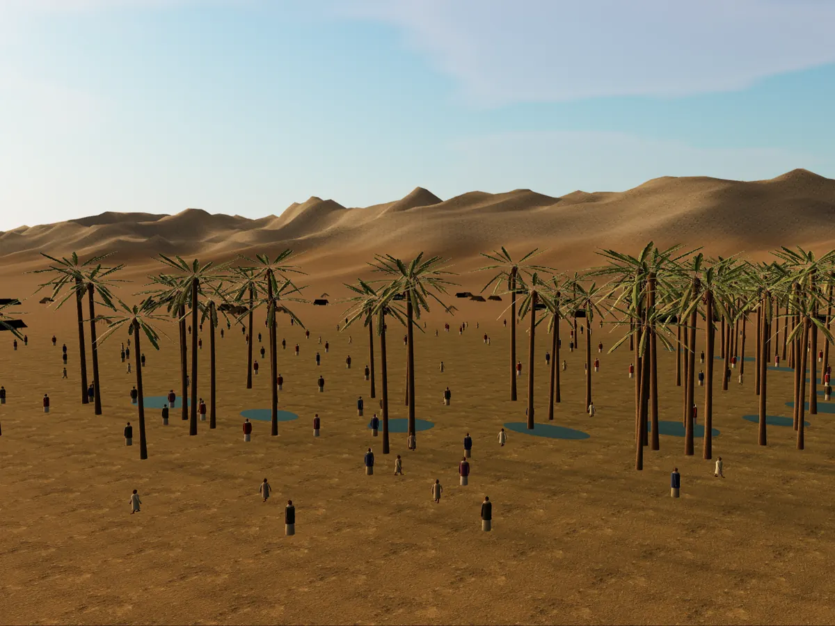
Maps that move with the story. Follow Israel out of Egypt and through the sea, Jesus around the Sea of Galilee and up to Jerusalem, and Paul from Antioch all the way to Rome. Every place comes with its verses and says how sure we can be of where it was. The Exodus, the Sea of Galilee and Holy Week also open as immersive 3D scenes.
Free, no sign-up, and they work on phones.
The life of Jesus
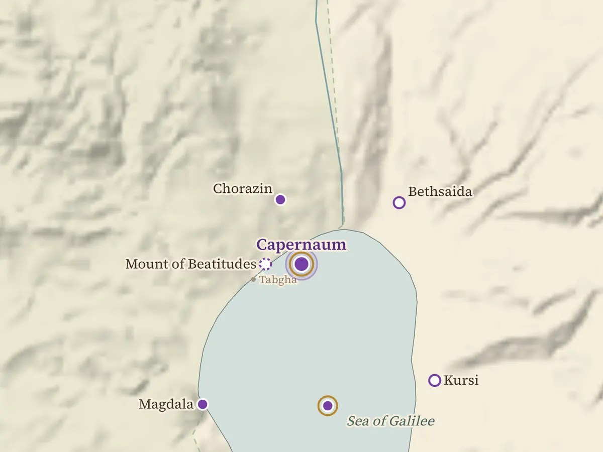
From Bethlehem and Nazareth to the lake towns of Galilee, then up to Jerusalem for the last week.
The early church
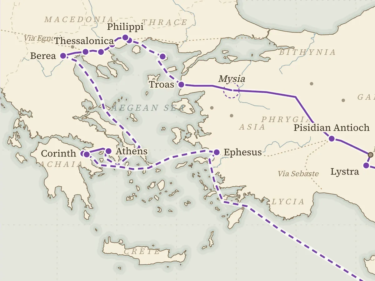
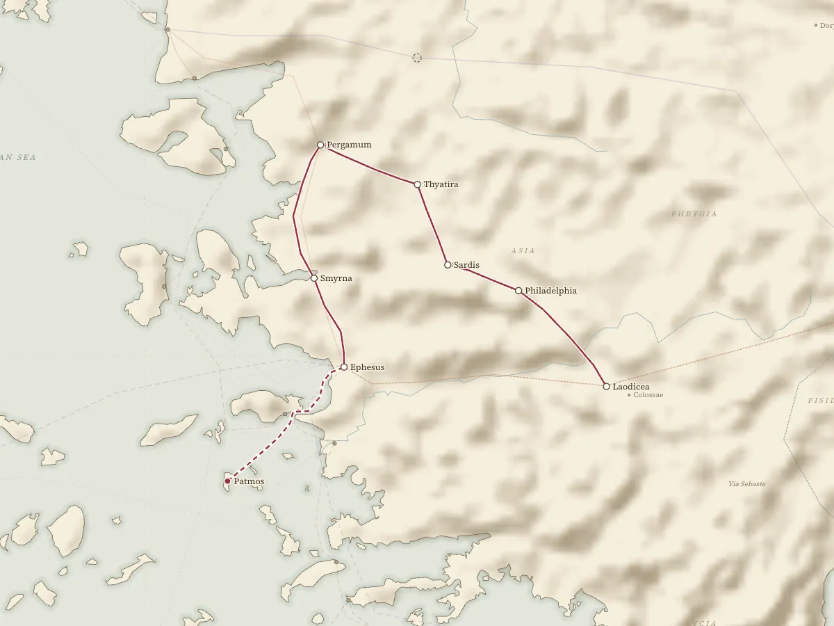
Paul's roads across the Roman world, and the seven churches of Revelation.
The Old Testament and the whole story
Out of Egypt, through the sea and on to Sinai, and the whole story from Abraham to the early church on one timeline.
Questions about the Bible Maps
Can I print the maps or show them in church?
Yes. Project any map in a service, Sunday school, small group or class, and print the lab sheets and saved images for handouts, as many copies as you need. Please keep the credit line, and don't sell them. What you may print and project →
Do the maps work on phones?
Yes. Drag to move, pinch to zoom and tap a place to read its verses. The maps with 3D views, such as the Exodus, the Sea of Galilee and Holy Week, run on most recent phones; on an older phone, switch to Lite 3D or read the text version. When the 3D views don't show →
How accurate are the place locations?
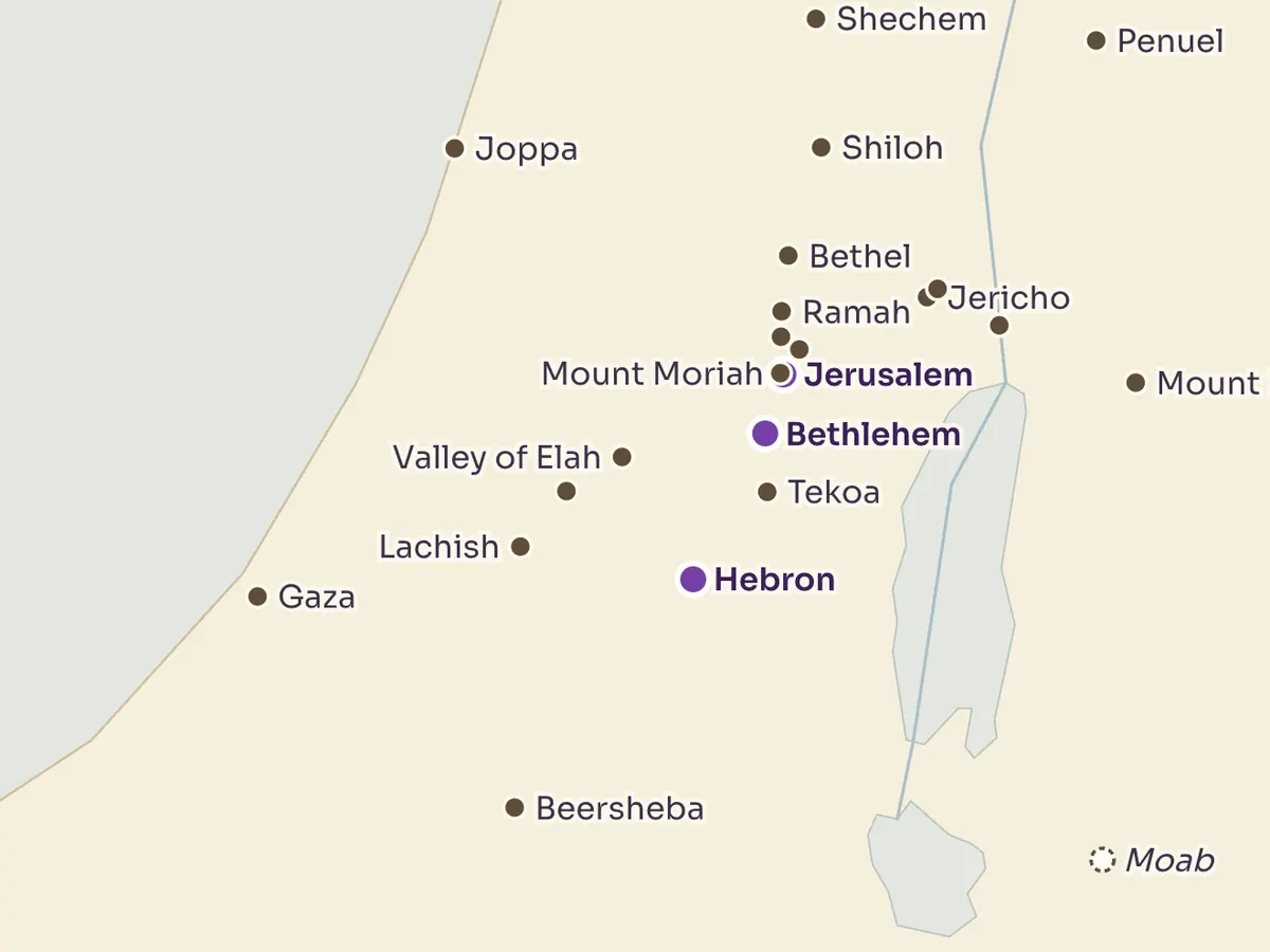
Each place says how sure it is. Some are stated in the text or strongly supported, like Jerusalem, Capernaum or Ephesus; others are only plausible or speculative, like the place where Israel crossed the sea or Mount Sinai. Where scholars propose rival sites, the map shows the main ones side by side instead of quietly picking one. How we weigh the evidence →
Are the Bible Maps free?
Yes. Every map is free, with no sign-up and no account. They open in a web browser, in English, Simplified Chinese and Traditional Chinese.